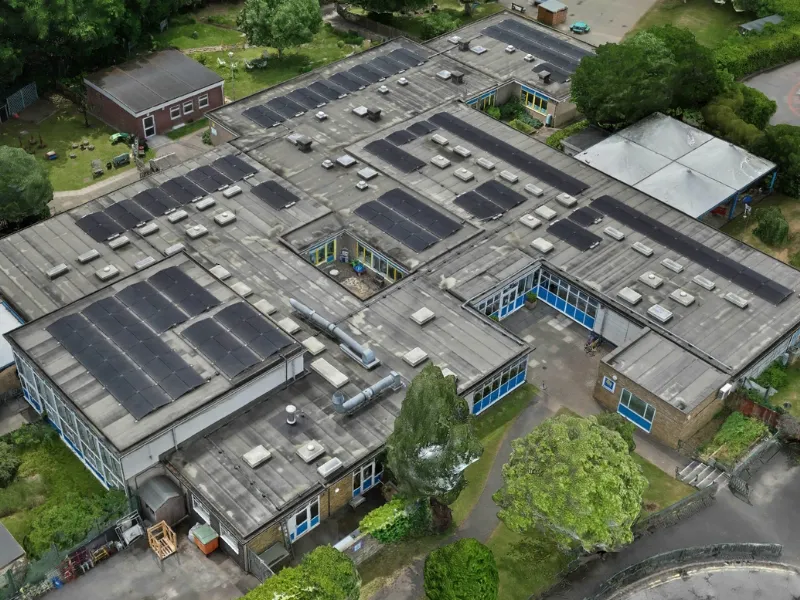
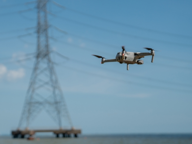
Drone-enabled surveys monitor critical assets across the entire water cycle. Treatment facility inspections provide detailed assessments of water treatment plants, including tank conditions, pipe networks and facility structures using high-resolution imagery and thermal analysis.
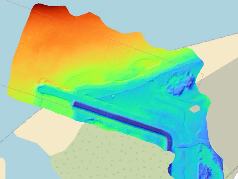
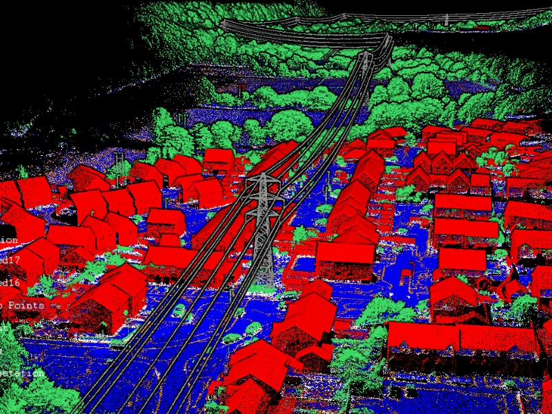
Advanced bathymetric LiDAR technology inspects shorelines, river erosion, lakes, reservoirs and buried/subsea pipelines using green laser mapping to identify structural defects including corrosion, cracks, deformations and blockages while generating accurate 3D point cloud data for comprehensive integrity management.
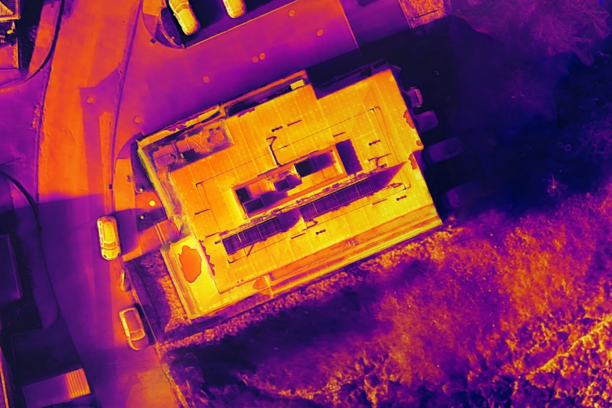
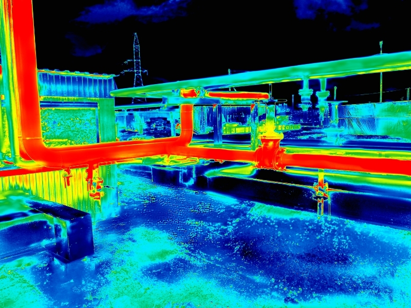
Pipeline corridor mapping monitors extensive water transmission routes, identifying potential issues, encroachment and environmental impacts. Thermal imaging analyses heat transfer from underground pipes, revealing pipe locations through temperature differential analysis.
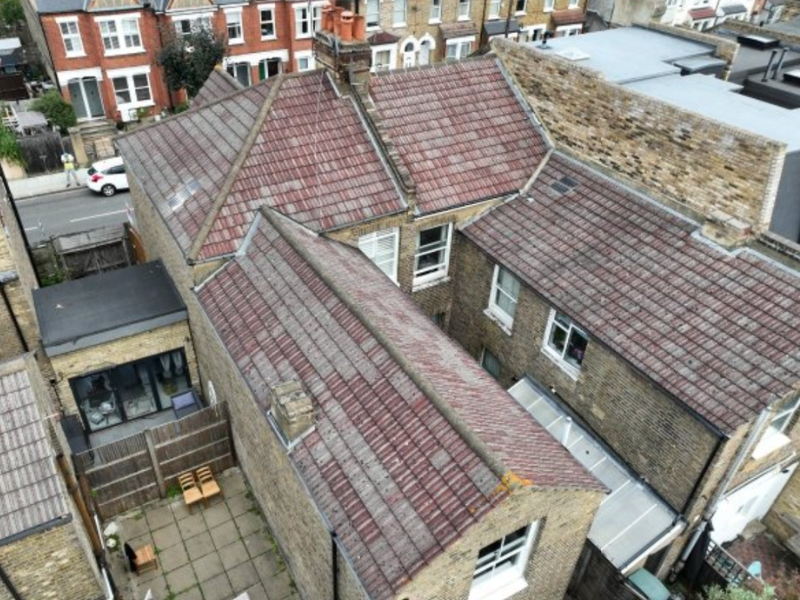
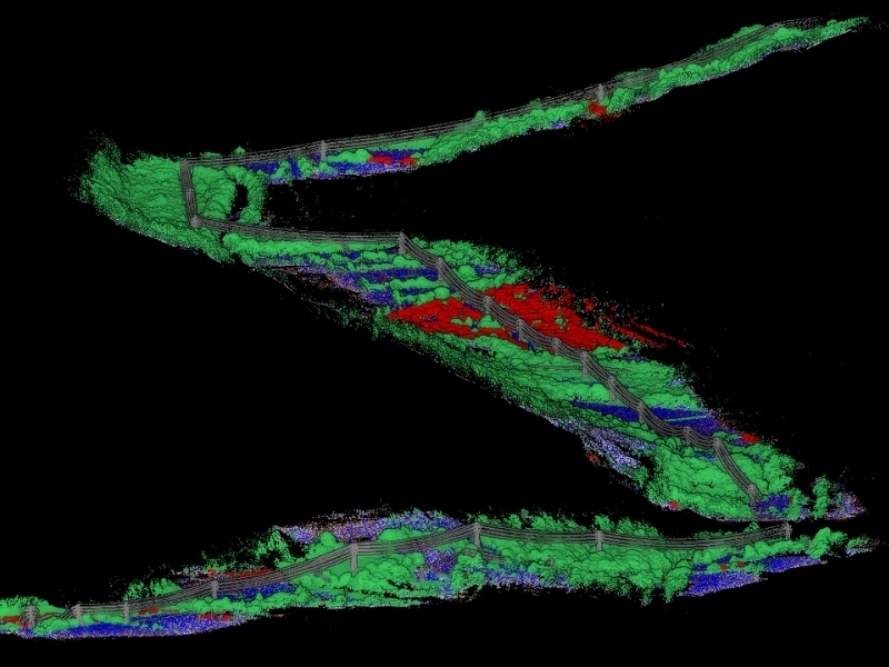
Our specialised caged drones enable safe inspections of confined spaces including tunnels, culverts, under bridges, inside tanks and wind turbines, conducting high-definition visual inspections and LiDAR scanning to detect structural defects, assess sediment buildup and provide approximate pipe dimensions.


.jpg)