Explore Industry Solutions
View Our Drones & Technology
UAV mapping delivers comprehensive aerial data capture and analysis for terrain, infrastructure and environmental monitoring. Using a variety of advanced drone technology, we create highly accurate, georeferenced images and data that provide essential spatial intelligence for surveying, agriculture and more.
Our drones simultaneously capture oblique imagery and point cloud data using advanced photogrammetry and LiDAR, following precise flight paths to ensure complete coverage from multiple angles and elevations. Our data is time-stamped and georeferenced with accuracies reaching ±8mm. With traditionally surveyed ground control, we can achieve even greater levels of precision.
Access and analyse your mapping data through our secure, purpose-built platform designed for complex spatial analysis.
Features include:
Our mapping excels in challenging terrain and inaccessible locations, ensuring unparalleled safety whilst maintaining accuracy for critical decision-making.
Here's some quick answers to help you understand our asset inspections better.
UAV mapping uses drones equipped with high-resolution cameras and sensors to capture aerial data of specific areas. This data is processed to create accurate maps, measurements and analysis of products that would be difficult, expensive or dangerous to obtain through traditional ground-based methods.
Our RTK-corrected GNSS Control networks across the site return a cross-site measurement accuracy of ±16mm, making it a suitable for costing and price estimations, stockpile monitoring, and preliminary retrofit planning.
Data collection typically completes within hours or days depending on area size and complexity. For emergency response situations, we can provide preliminary mapping data within hours. Standard processing delivers comprehensive datasets within days based on project requirements.
Data sets can be viewed in our secure, purpose-built platform designed for comprehensive asset analysis. It can be exported for GIS, CAD, and other analysis software.
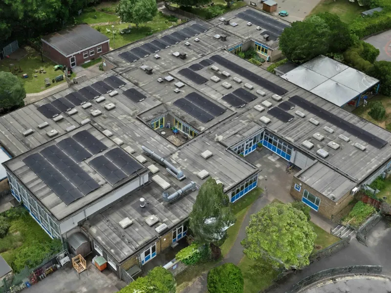
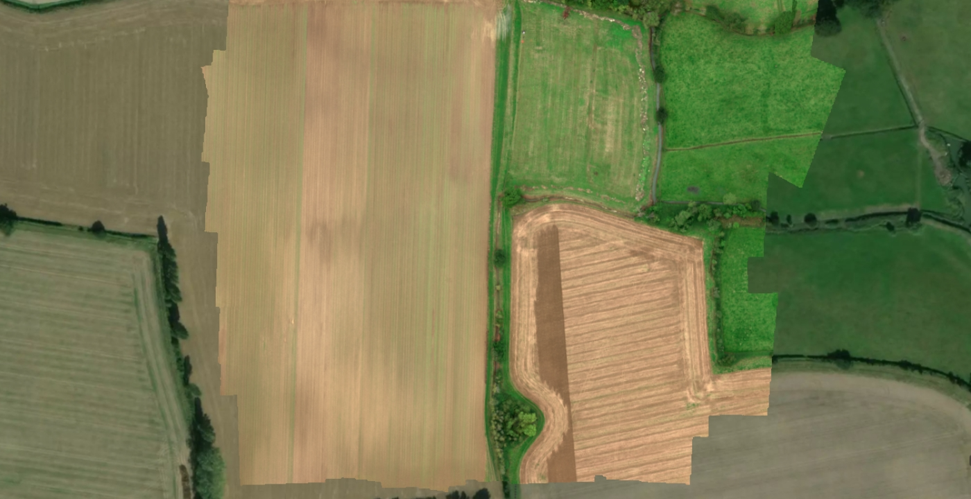
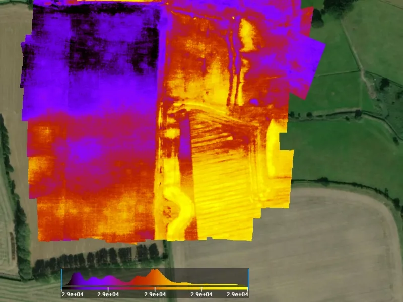
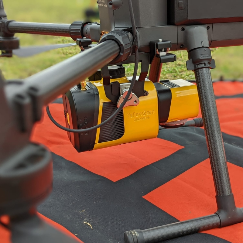
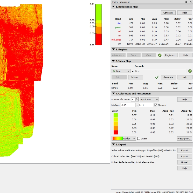
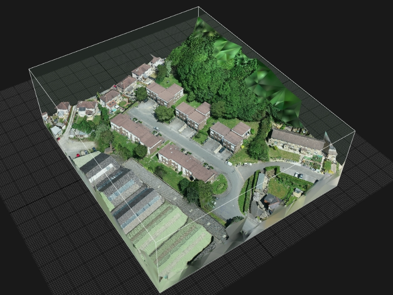
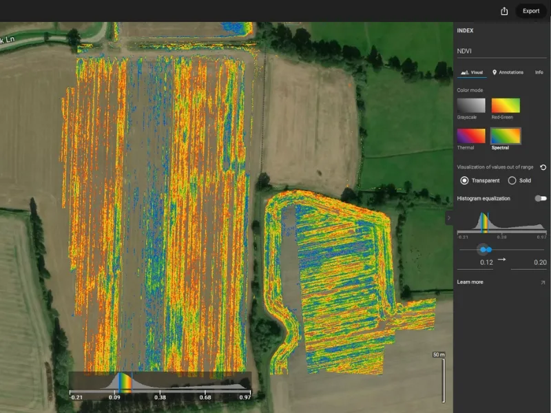
Drone mapping has diverse applications across multiple industries. Key uses include topographical surveys for land development, architectural rendering and building design, infrastructure inspections of bridges and utilities, mining operations for volume calculations, and asset management for housing associations and property developers.
Beyond these applications, there are a variety of unique use cases for mapping and modelling, for example we have mapped underwater habitats with UAV LiDAR Bathymetry systems, identifying routes beavers took between food stores and their sets using minute variances in the subsurface sediment disturbance and topography.
We're here to answer any questions you may have.