Overview

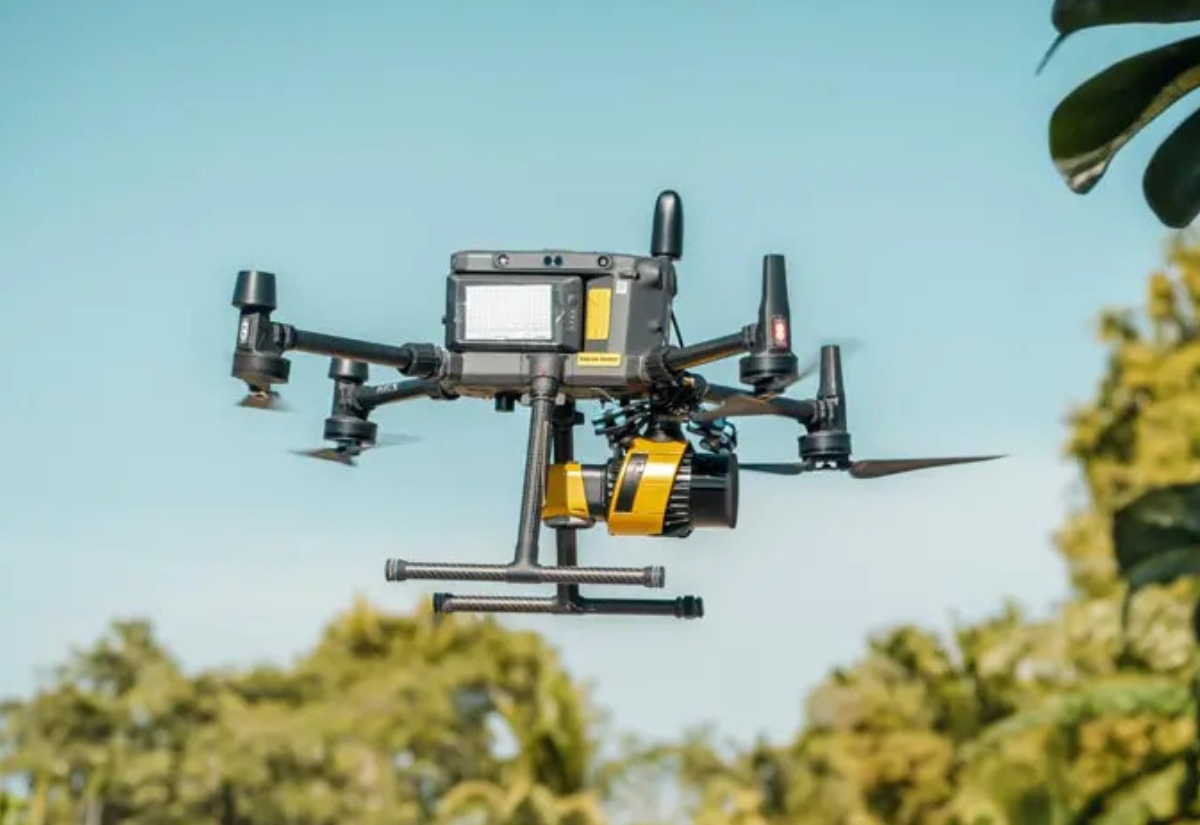
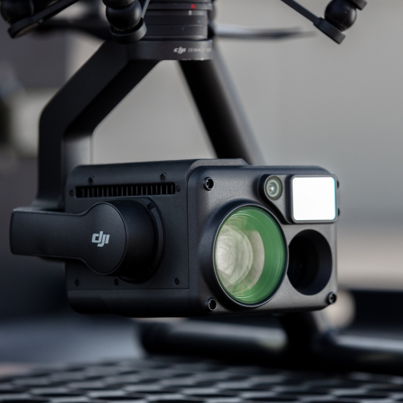
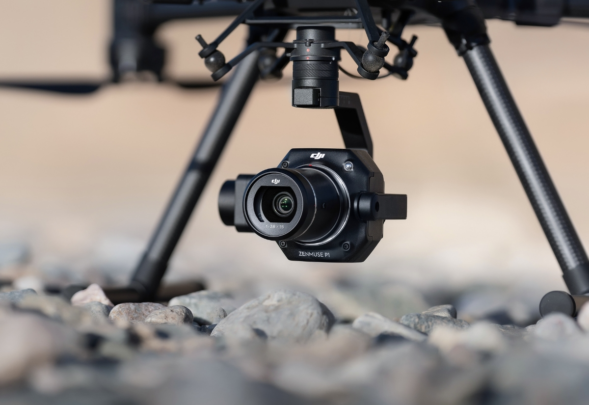
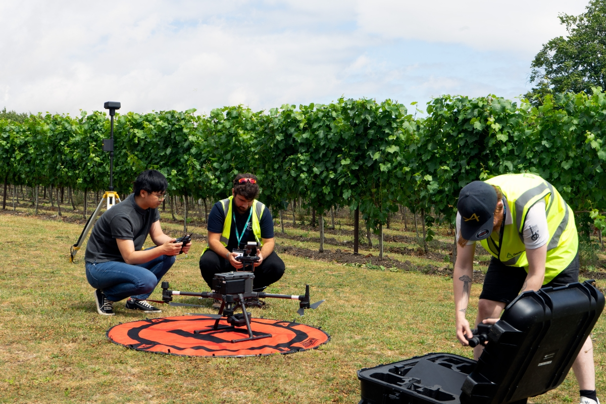
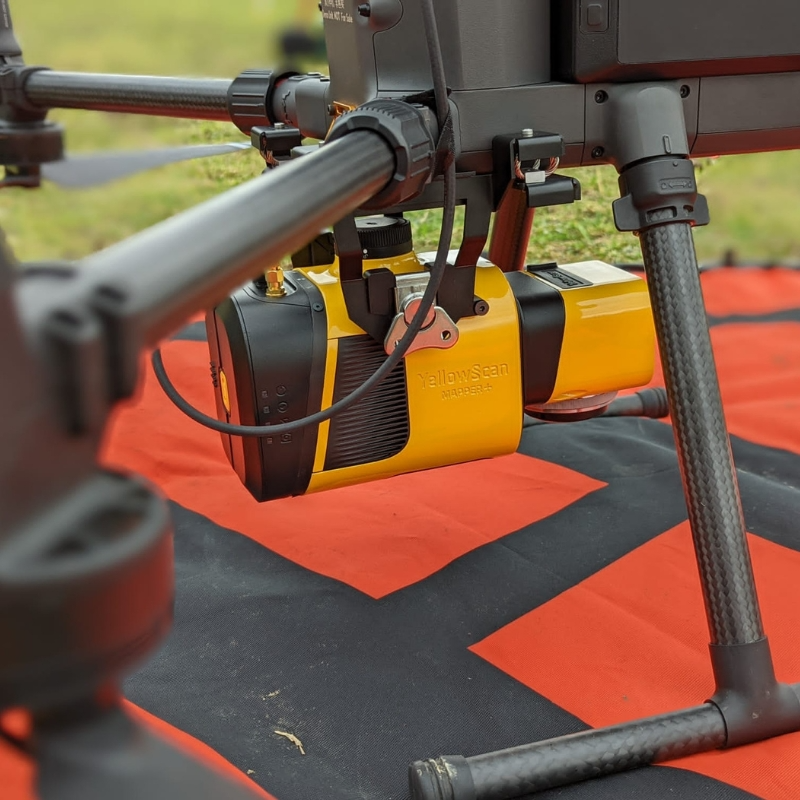
We combine state-of-the-art drones, payloads, sensors and asset management portals to maximise your data capture and ensure seamless integration with your existing systems.  

Explore our technology below.  

These represent our core capabilities, but we’re not limited to them – present us with a challenge and we’ll find the right solution for your needs.

Explore by Technology Type

Our Payloads (Sensors)

Select Section

YellowScan Mapper+

Entry-level LiDAR system providing cost-effective, accurate data capture for smaller-scale mapping projects.

Key Features:

  • 300 kHz measurement rate
  • Lightweight (1.6kg)
  • Integrated RGB camera
  • User-friendly operation
  • Reliable performance in varied terrain

Key Use Cases:

  • Small to medium site surveys
  • Urban planning and development
  • Mining volume calculations
  • Environmental monitoring

Get in Touch

We're here to answer any questions you may have.

Our Qualifications

Cyber Essentials

Civil Aviation Authority

ISO 27001