.jpg)
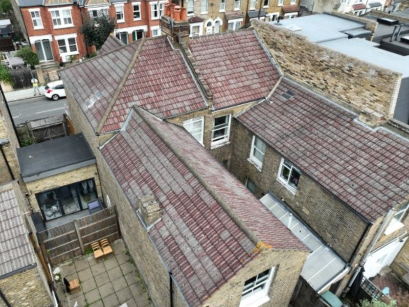
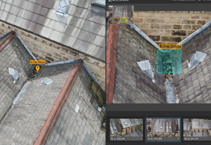
Yorkshire Housing were advised to undertake a full roof replacement costing c. £350k. Vantage UAV's drone inspection & 3D model revealed only c. £50k of work was required - an 85.7% cost saving!
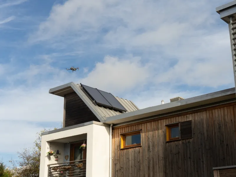
Vantage UAV’s drone technology is revolutionising asset management across the built environment. Our advanced UAV solutions are being leveraged to conduct faster, safer and more cost-effective building inspections for:
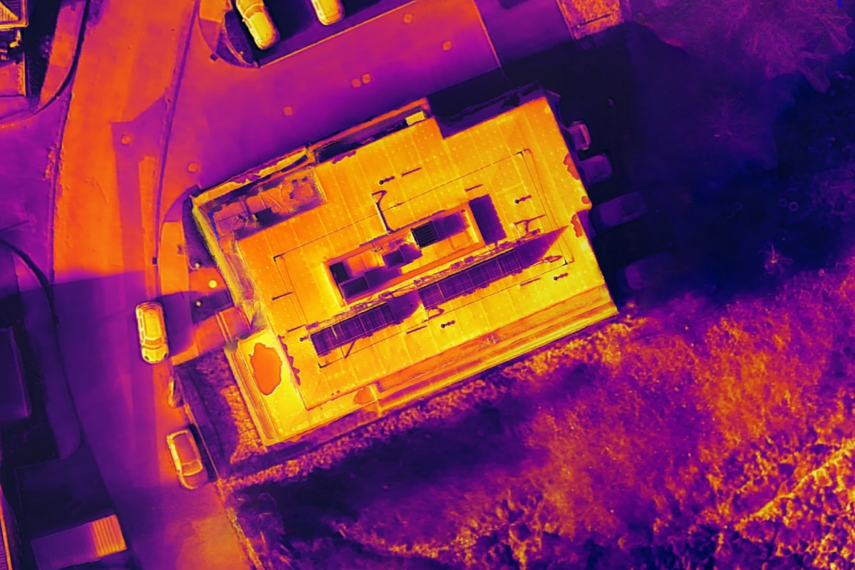
From responsive repairs to planned maintenance and energy efficiency programmes, drones deliver precise data outputs in a variety of forms. These actionable insights support workflows with detailed reporting, transforming how organisations manage their building portfolios and compliance.
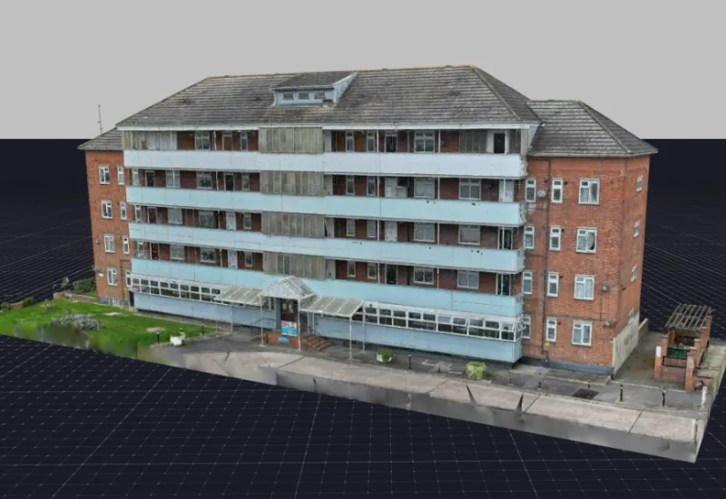
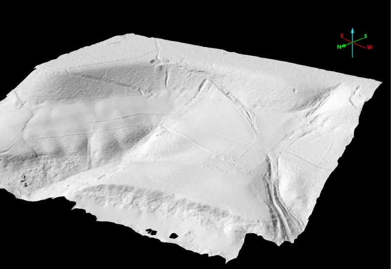
Precise topographical mapping supports planning applications and development feasibility considerations, while regular progress documentation ensures project oversight and stakeholder communication throughout all development phases.

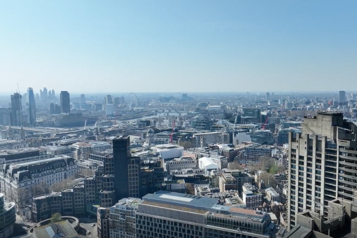
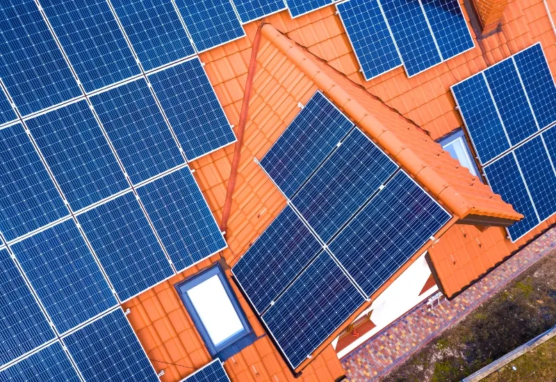
Professional aerial photography and videography showcase developments for marketing, sales and investment purposes, capturing unique perspectives that highlight location benefits and architectural features.

Precise topographical mapping supports planning applications and development feasibility considerations, while regular progress documentation ensures project oversight and stakeholder communication throughout all development phases.


We're here to answer any questions you may have.

.jpg)