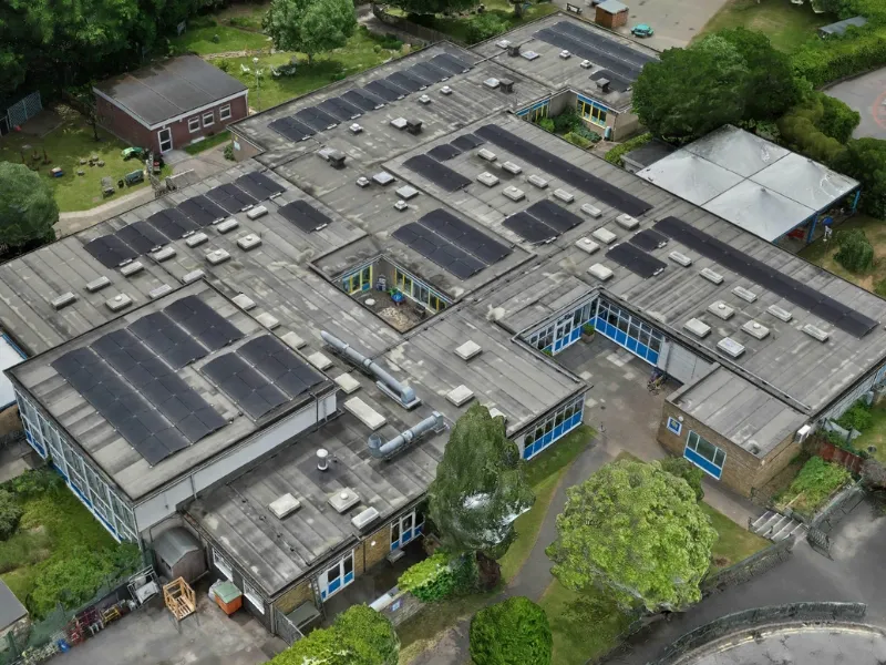
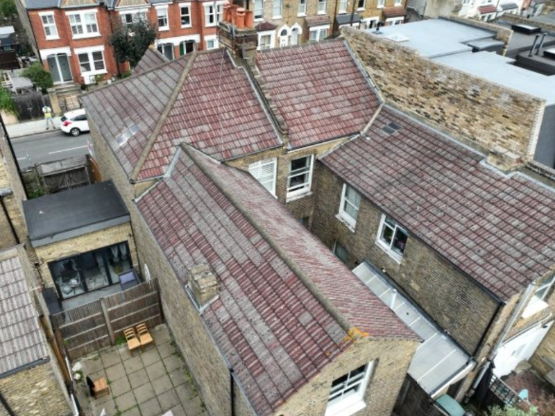
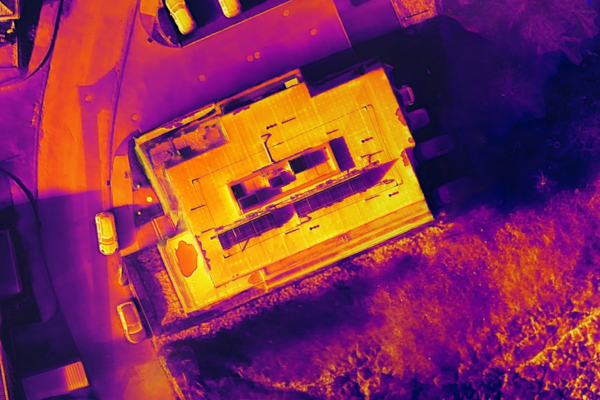
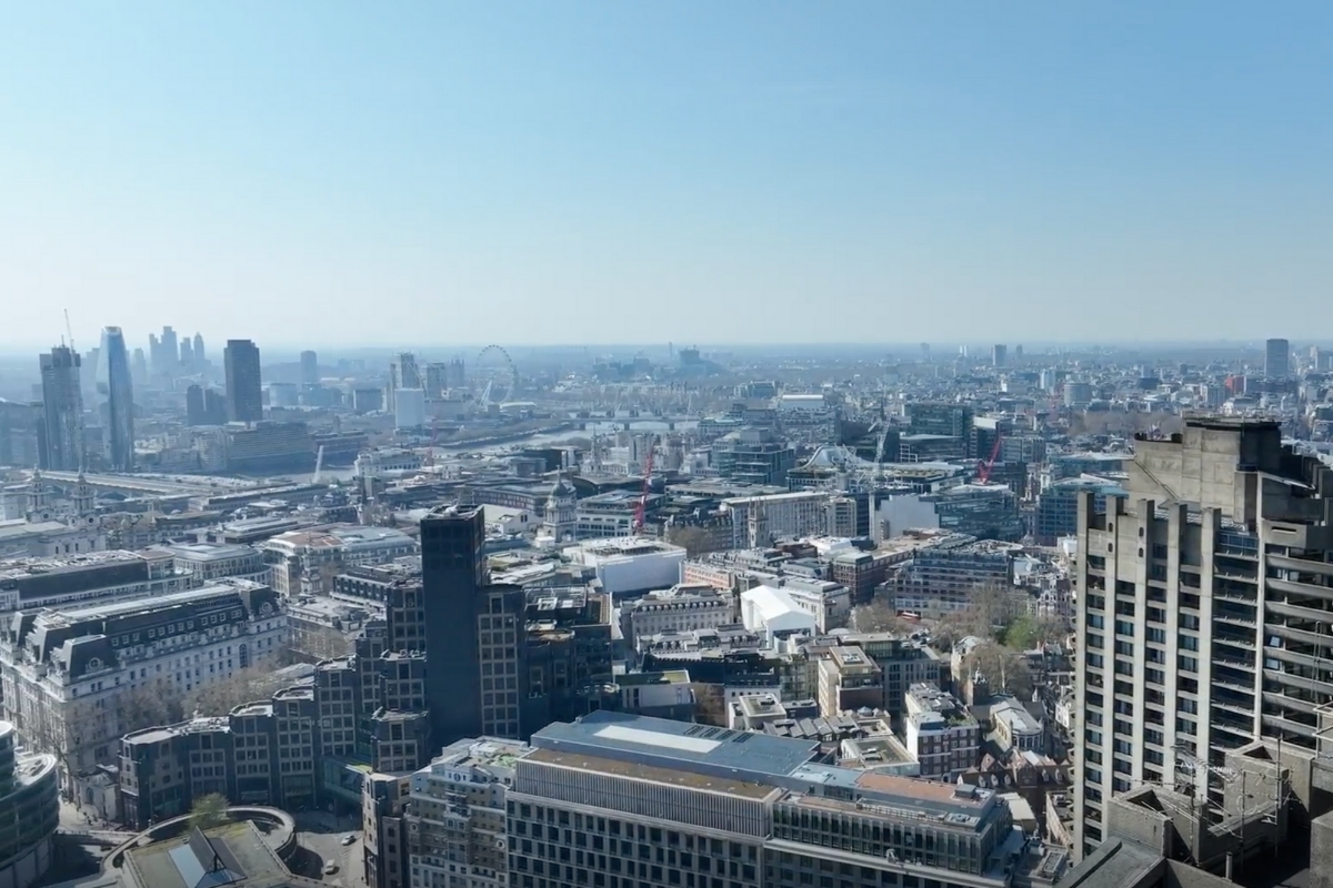
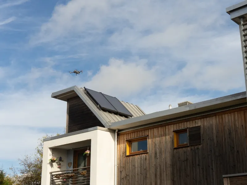
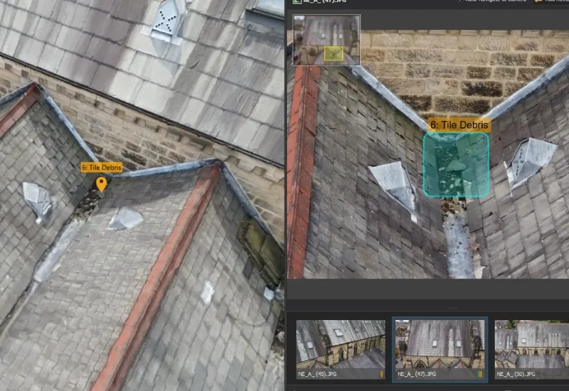
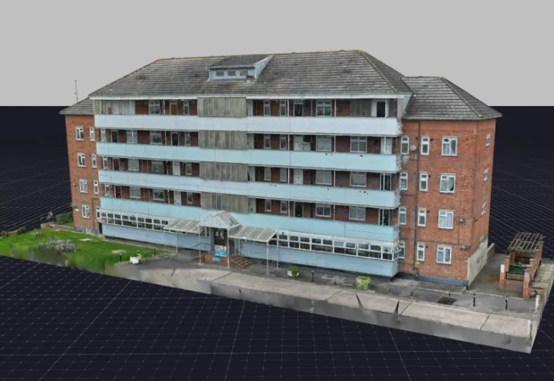
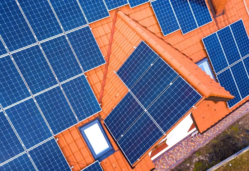
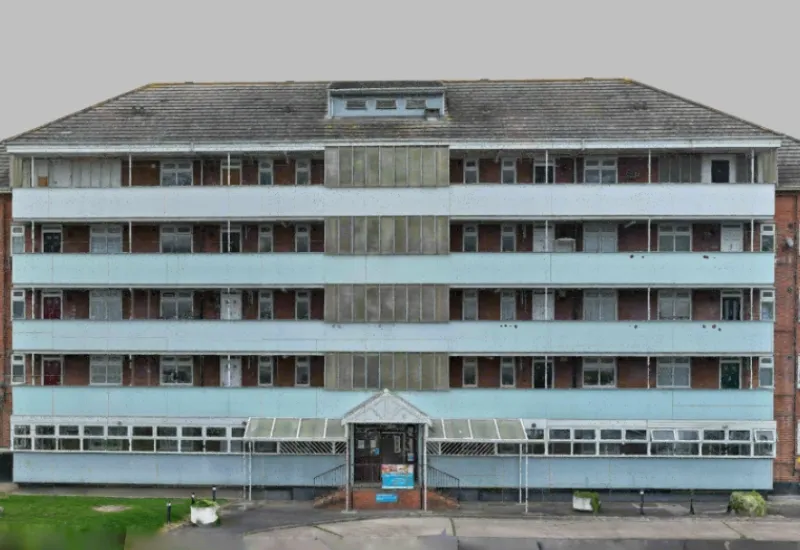
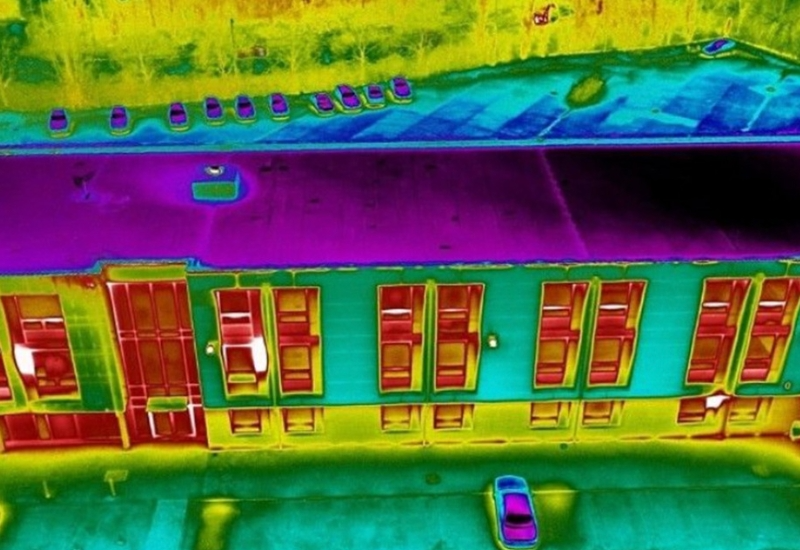
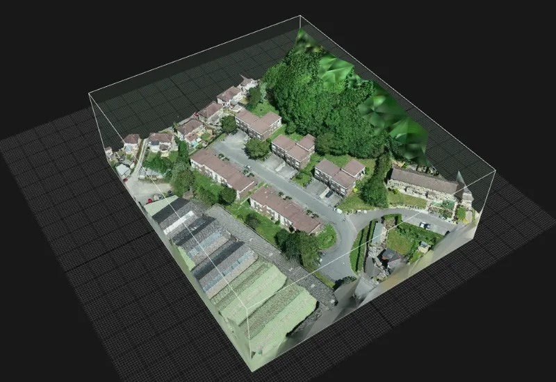
Industry Solution

Built Environment

Overview

Vantage UAV’s drone technology is revolutionising asset management across the built environment. Our advanced UAV solutions are being leveraged to conduct faster, safer and more cost-effective building inspections for:

  • Housing Associations & ALMOs
  • Public Sector Organisations
  • Private Landlords
  • Developers

From responsive repairs to planned maintenance and energy efficiency programmes, drones deliver precise data outputs in a variety of forms. These actionable insights support workflows with detailed reporting, transforming how organisations manage their building portfolios and compliance.

Common Use Cases

Roof & Facade Inspections

High-resolution imagery and 4K video identifies structural issues, weathering damage and maintenance requirements without scaffolding or access equipment.

Digital Twin Modelling

Create comprehensive 3D digital replicas of buildings and estates for enhanced asset management, planning and stakeholder communication.

Solar Panel Inspections

Thermal imaging and visual inspections detect panel defects, performance issues and maintenance requirements to optimise renewable energy investments.

Development

Our drone services support development projects from initial ground assessments and ongoing construction monitoring through to completion checks for insurance and handover requirements.

Facade Material Inspections

Our drone condition assessments support regeneration planning by providing desk-based visual inspection tools for detailed material analysis and replacement coordination. High-resolution data enables you to document existing facade conditions, identify structural issues and generate accurate material specifications that inform regeneration scope and budget planning. Comprehensive condition reports support both funding applications and contractor briefings.

Progress Tracking

Time-stamped visual documentation provides clear evidence of project advancement for stakeholders, funders and community engagement. Regular drone surveys create visual progress records that demonstrate project milestones, support funding and provide transparent communication tools for resident and community updates. Professional aerial photography, videos and time-lapse sequences can be created for compelling marketing materials.

Thermal Imaging

Thermal imaging surveys reveal hidden building performance issues that impact regeneration planning and energy efficiency. Our drone-mounted thermal cameras gather data for energy-focused regeneration projects by identifying heat loss patterns, moisture ingress and insulation deficiencies across building facades and roofs. Thermal data supports energy efficiency assessments, helps prioritise retrofit interventions and provides baseline measurements for post-regeneration performance validation.

Comprehensive thermal reports inform decisions, support funding applications for energy improvement schemes and demonstrate compliance with building performance standards.

Initial Site Assessments

Rapid condition and topographical surveys inform regeneration scope, budget planning and project timelines with accurate baseline data. Multiple sites can be quickly assessed and compared against one another, enabling accelerated regeneration project timelines. Comprehensive site information captures existing conditions, identifies priority areas and provides detailed visual evidence that support regeneration planning, contractor tendering and project scheduling.

Regeneration

We support successful regeneration projects with aerial condition assessments and visual documentation that informs planning, tracks progress and engages stakeholders.

Facade Material Inspections

Our drone condition assessments support regeneration planning by providing desk-based visual inspection tools for detailed material analysis and replacement coordination. High-resolution data enables you to document existing facade conditions, identify structural issues and generate accurate material specifications that inform regeneration scope and budget planning. Comprehensive condition reports support both funding applications and contractor briefings.

Progress Tracking

Time-stamped visual documentation provides clear evidence of project advancement for stakeholders, funders and community engagement. Regular drone surveys create visual progress records that demonstrate project milestones, support funding and provide transparent communication tools for resident and community updates. Professional aerial photography, videos and time-lapse sequences can be created for compelling marketing materials.

Thermal Imaging

Thermal imaging surveys reveal hidden building performance issues that impact regeneration planning and energy efficiency. Our drone-mounted thermal cameras gather data for energy-focused regeneration projects by identifying heat loss patterns, moisture ingress and insulation deficiencies across building facades and roofs. Thermal data supports energy efficiency assessments, helps prioritise retrofit interventions and provides baseline measurements for post-regeneration performance validation.

Comprehensive thermal reports inform decisions, support funding applications for energy improvement schemes and demonstrate compliance with building performance standards.

Regeneration

We support successful regeneration projects with aerial condition assessments and visual documentation that informs planning, tracks progress and engages stakeholders.
Select Section
Facade Material Inspections
Progress Tracking
Thermal Imaging
Initial Site Assessments

Facade Material Inspections

Our drone condition assessments support regeneration planning by providing desk-based visual inspection tools for detailed material analysis and replacement coordination. High-resolution data enables you to document existing facade conditions, identify structural issues and generate accurate material specifications that inform regeneration scope and budget planning. Comprehensive condition reports support both funding applications and contractor briefings.

Key Benefits

Informed Planning
Accurate condition data supports realistic regeneration scope, budget forecasting and project timeline development.
Stakeholder Transparency
Visual progress documentation provides clear evidence for funders, residents and community engagement activities.
Risk Mitigation
Comprehensive baseline assessments identify potential issues before projects commence, preventing costly delays and variations.
Funding Support
Detailed condition reports and progress documentation support funding applications and drawdown requirements.

Speak with an Expert?

Book a call with us to discuss your requirements and have any questions answered.

Book a call with us to discuss your requirements and have any questions answered.

Grace Hammond
Head of Services - Built Environment

headshot of jon

Jon White
Technical Solutions Manager / Pilot

Our Qualifications

Cyber Essentials

Civil Aviation Authority

ISO 27001

Get in Touch

We're here to answer any questions you may have.