Explore Data Solutions
View Our Drones & Technology

Vantage UAV’s drone technology is revolutionising asset management across the built environment. Our advanced UAV solutions are being leveraged to conduct faster, safer and more cost-effective building inspections for:
From responsive repairs to planned maintenance and energy efficiency programmes, drones deliver precise data outputs in a variety of forms. These actionable insights support workflows with detailed reporting, transforming how organisations manage their building portfolios and compliance.

Deploy drones within days or even hours, to assess external building damage following tenant reports and weather events. Immediate visual confirmation enables swift decision-making, with the digital reports being accessible to remote teams without the need for their onsite attendance.
With Awaab’s Law (link to article) now requiring social housing providers to investigate and remedy reported hazards within strict timeframes (24 hours for emergency hazards and 10 working days for potentially significant hazards such as damp and mould), having a rapid response drone deployment capability supports legal compliance and tenant satisfaction.
Our technology enables fast repair scheduling with clear visual data for work teams. Through our portal, users can easily generate time-stamped reports with issues, notes and actions being documented.

Precise damage location and detailed imagery ensure repair teams arrive fully prepared with correct materials and equipment, reducing multiple site visits and tenant disruption. Sizeable cost savings are created due to scaffolding/cherry picker requirements being minimised to only the areas requiring work, rather than around the entire circumference of the building to identify the issue.
Time and date-stamped, geo-referenced data creates comprehensive audit trails for every inspection, supporting compliance requirements and enabling performance tracking across your portfolio.
Precise location data enables direct comparison of flagged problems over time, ensuring consistent monitoring of the exact same areas. Geo-referenced reporting eliminates guesswork for work teams, who can locate issues immediately without wasting time interpreting vague ground survey descriptions. This accuracy reduces site preparation time and ensures repairs target the correct areas first time.

Comprehensive drone surveys provide detailed assessments of roof condition without the safety risks and costs associated with traditional access methods. Our high-resolution imagery captures structural integrity issues including sagging, cracking and deterioration patterns that develop over time. This enables proactive maintenance planning before minor issues become major structural problems.
Gutter and drainage systems receive thorough evaluation to identify blockages, damage, and water pooling that can lead to costly water ingress and structural damage. Chimney stacks, ventilation systems, and other roof-mounted equipment are systematically assessed for structural condition and functionality, ensuring all elements continue to perform safely and effectively.
Our data portal enables effective issue identification, allowing your team to categorise issues by severity and urgency while adding detailed notes as required. This information can be instantly compiled into comprehensive reports and distributed to relevant maintenance teams, while simultaneously storing all data for Golden Thread of Information compliance [link to article] and future reference.
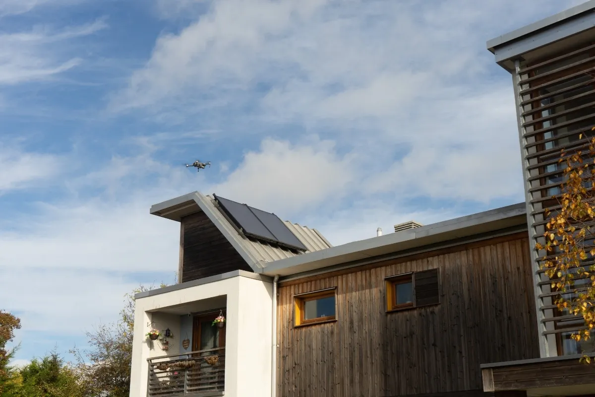
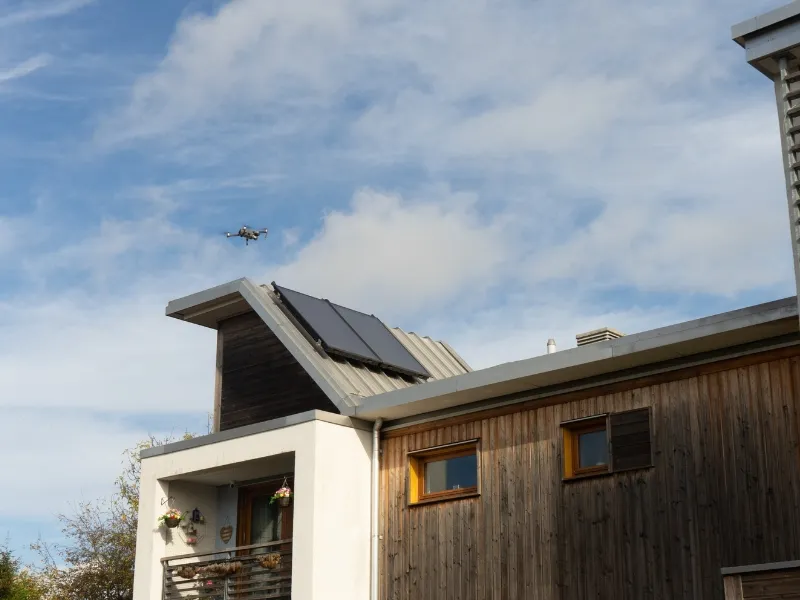
Advanced thermal imaging capabilities detect heat loss and solar panel performance. For comprehensive energy efficiency inspections, see our dedicated Energy Efficiency section below. Link to that part of the page
External building assessments provide critical monitoring of cladding systems, render, and brickwork to ensure structural integrity and building safety compliance. Post-Grenfell, regulations now require systematic evaluation of external wall materials and fire safety on all high-rise buildings. Our drone surveys deliver this information quickly and effectively, with detailed documentation needed for ongoing safety obligations.
Window frames, door systems, and external insulation are assessed for deterioration, seal failures, and performance issues that may impact building energy efficiency [Link to Energy Efficiency section] and weather resistance. Our drone inspections deliver data for thorough safety evaluations of balcony structures and external access routes, ensuring full compliance with building safety regulations.
Survey findings and notes can be recorded via our online data portal, enabling quick prioritisation of critical safety issues and routine maintenance needs. All inspection data integrates seamlessly into your asset management systems to create a comprehensive digital record that supports both immediate decision-making and long-term building lifecycle planning.
Drone technology provides safe access to previously inaccessible building elements including chimneys, high-level decorative features, clock towers [St Luke’s Church Case Study Link], and angled facades that would typically require expensive specialist access equipment. Internal courtyards, lift shaft equipment, and external fire escape routes receive full assessments without the safety risks associated with traditional inspection methods.
Quote about using drones to access back of buildings when gates locked
Underground car park ventilation systems and their external intake points are systematically evaluated to ensure proper functionality and compliance with building regulations.
Buildings over 18 metres (or 7 storeys) require enhanced inspection under the Building Safety Act 2022, with external walls needing comprehensive assessment every 5 years as a minimum. Our drone surveys quickly deliver the detailed photographic evidence, condition reports, and precise location mapping required for building safety documentation. This includes mandatory inspections of cladding, structural elements, and fire safety features that must be submitted to the Building Safety Regulator.
Scheduled drone surveys track building deterioration patterns over time, enabling predictive maintenance planning and accurate budget forecasting. Rapid post-storm assessments provide documented evidence for insurance claims, while warranty period monitoring captures time-stamped, new-build defects for contractor claims.
Monitoring insights can feed directly into your asset management system, with pre-scheduled Vantage UAV drone assessments delivering consistent building information while eliminating the administrative burden of coordinating regular inspections.
Our advanced caged drones provide us with the capability to offer safe access to confined spaces including roof voids, plant rooms, water tanks, wells and service tunnels without putting maintenance teams at risk. Our compact caged drones [future link to caged drone page] can navigate restricted areas to assess structural elements and mechanical installations while eliminating costly confined space safety procedures.
Using our handheld scanner, we can create comprehensive internal building inspections covering common areas, rooms, stairwells, lift shafts, and basement spaces. This combined approach delivers complete building oversight, supporting external and internal planned maintenance while maintaining the highest safety standards.
Using our advanced technology, we develop 3D replicas of your buildings and assets to provide a dynamic digital model that serves as the source of truth for all building information. These digital twins combine overlapping high-resolution 2D imagery from various angles with LiDAR point-cloud data to construct the 3D model within a single interactive platform. Our browser based virtual inspection platform enables you to assess the condition of assets, annotate, measure, and report from the comfort of your desk, or even on your mobile device. Find out more about 3D Modelling here. [LINK to 3D Modelling Data Solutions page]
Our platform provides unprecedented ease for visualising, navigating and inspecting assets from 360°, allowing users to focus on identifying defects or areas of interest. This centralised data storage eliminates information silos between departments and guarantees every team works from identical, up-to-date building intelligence that supports Golden Thread of Information requirements.
Digital twins enable sophisticated scenario planning and lifecycle management, allowing teams to model different maintenance strategies and budget allocations before committing. Historical condition data can overlay with current surveys to reveal deterioration patterns that support evidence-based decision-making for long-term asset management plans. These interactive 3D models facilitate clear communication between asset managers, contractors, and residents through visual context that reduces travel costs and ensures project understanding.
.jpg)
Thermal imaging technology identifies underperforming panels, connection issues and maintenance requirements to maximise renewable energy ROI. Our high-resolution thermal cameras detect hotspots, micro-cracks and electrical faults that reduce panel efficiency, enabling targeted maintenance that restores optimal performance. Detailed thermal reports support insurance requirements, warranty claims and maintenance scheduling.
Detailed structural assessments ensure roof suitability for solar installations, identifying potential issues before costly equipment deployment. Our surveys evaluate load-bearing capacity, roof condition, and structural integrity while identifying optimal panel positioning for maximum energy generation. This proactive approach prevents installation delays and costly structural modifications.
Thermal inspections pinpoint energy inefficiencies, supporting retrofit planning and energy performance improvements across your portfolio. Our thermal imaging reveals heat loss through windows, doors, walls and roofing systems, providing clear visual evidence for targeted insulation upgrades and energy efficiency investments that deliver measurable cost savings.
Vantage UAV is pioneering drone-based application of water-based semipermeable thermal coating that enhance building waterproofing and significantly reduce heat loss by up to 20%. This innovative drone solution enables precise coating application to hard-to-reach areas and building facades that would typically require expensive access equipment.
This advanced coating technology creates an effective thermal barrier while maintaining building breathability, supporting your energy efficiency targets and reducing heating costs across your portfolio. Post-application thermal imaging surveys verify coating effectiveness and coverage, ensuring optimal performance and providing documented evidence of energy efficiency improvements for compliance reporting and funding applications.
Our drone condition assessments support regeneration planning by providing desk-based visual inspection tools for detailed material analysis and replacement coordination. High-resolution data enables you to document existing facade conditions, identify structural issues, and generate accurate material specifications that inform regeneration scope and budget planning. Comprehensive condition reports support both funding applications and contractor briefings
Time-stamped visual documentation provides clear evidence of project advancement for stakeholders, funders and community engagement. Regular drone surveys create visual progress records that demonstrate project milestones, support funding and provide transparent communication tools for resident and community updates. Professional aerial photography, videos and time-lapse sequences can be created for compelling marketing materials.
Thermal imaging surveys reveal hidden building performance issues that impact regeneration planning and energy efficiency. Our drone-mounted thermal cameras support energy-focused regeneration projects by identifying heat loss patterns, moisture ingress and insulation deficiencies across building facades and roofs. Thermal data supports energy efficiency assessments, helps prioritise retrofit interventions and provides baseline measurements for post-regeneration performance validation.
Comprehensive thermal reports inform specification decisions, support funding applications for energy improvement schemes and demonstrate compliance with building performance standards.
Rapid condition and topographical surveys inform regeneration scope, budget planning and project timelines with accurate baseline data. Multiple sites can be quickly assessed and compared against one another, enabling accelerated regeneration project timelines. Comprehensive site documentation captures existing conditions, identifies priority areas and provides detailed visual evidence that supports regeneration planning, contractor tendering, and project scheduling.

Precise topographical mapping supports planning applications and development feasibility considerations, while regular progress documentation ensures project oversight and stakeholder communication throughout all development phases.
Professional aerial photography and videography showcase developments for marketing, sales and investment purposes, capturing unique perspectives that highlight location benefits and architectural features.
Our drone inspections support Golden Thread of Information requirements with detailed visual documentation, condition assessments, and structured data collection that creates an auditable trail of building safety evidence. Regular external wall inspections for buildings over 18 metres ensure compliance with mandatory 5-year assessment cycles, while cladding system monitoring provides ongoing safety oversight.
Awaab's Law & Decent Homes Standard
Drone inspections utilising both high-resolution imagery and thermal imaging support Awaab's Law compliance by identifying damp, mould and ventilation issues that have the potential to negatively impact tenant health and safety. Our surveys provide documented evidence for Decent Homes Standard assessments, tracking property conditions and improvement requirements across your portfolio with precise, time-stamped visual records that support regulatory reporting.
External escape route assessments and fire safety evaluations ensure compliance with Fire Safety (England) Regulations 2022. Our drone surveys systematically document external wall materials, cladding systems, and fire safety features, providing the detailed photographic evidence required for Building Safety Regulator submissions and ongoing fire risk assessments.
Social Housing Regulation Act 2023
We support social housing requirements with comprehensive stock condition surveys, safety documentation and proactive maintenance evidence. Our data portal enables transparent reporting on property conditions, safety improvements, and regulatory compliance activities that demonstrate commitment to tenant welfare and housing standards.
Robust data protection measures include face blurring technology, secure data handling procedures and clear communication protocols that protect resident privacy while enabling essential asset management activities. All data collection follows GDPR principles with controlled access and clear data sharing agreements.
Vantage UAV maintains comprehensive CAA certification, public liability insurance and established safety procedures that protect residents, the public and property assets. Our certified pilots operate under strict regulatory guidelines with resident communication procedures and flight permission protocols ensuring all operations meet aviation requirements while respecting community needs.
We're here to answer any questions you may have.