Overview

We combine state-of-the-art drones, payloads, sensors and asset management portals to maximise your data capture and ensure seamless integration with your existing systems.  

Explore our technology below.  

These represent our core capabilities, but we’re not limited to them – present us with a challenge and we’ll find the right solution for your needs.

Select Section
No items found.
No items found.
This is some text inside of a div block.

Heading

Our Drones

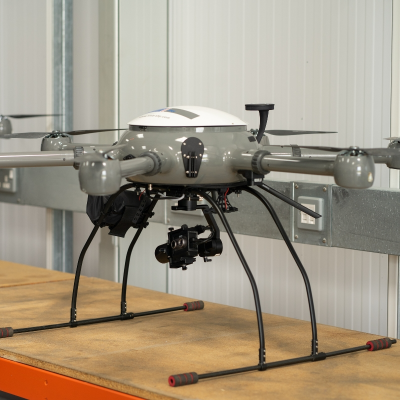
X11 – Multi-purpose drone

Compact, versatile drone ideal for rapid deployment and detailed inspections in confined or complex environments.

Key Features:

  • 4/3 CMOS sensor with mechanical shutter
  • 56x hybrid zoom capability
  • RTK positioning for centimetre-level accuracy
  • 45-minute flight time
  • IP54 weather resistance

Key Use Cases:

  • Building and infrastructure inspections
  • Emergency response and search operations
  • Site surveys and progress monitoring
  • Urban asset inspections

DJI Mavic 4E

Compact, versatile drone ideal for rapid deployment and detailed inspections in confined or complex environments.

Key Features:

  • 4/3 CMOS sensor with mechanical shutter
  • 56x hybrid zoom capability
  • RTK positioning for centimetre-level accuracy
  • 45-minute flight time
  • IP54 weather resistance

Key Use Cases:

  • Building and infrastructure inspections
  • Emergency response and search operations
  • Site surveys and progress monitoring
  • Urban asset inspections

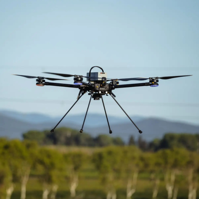
Hexadrone Tundra 2

Compact, versatile drone ideal for rapid deployment and detailed inspections in confined or complex environments.

Key Features:

  • 4/3 CMOS sensor with mechanical shutter
  • 56x hybrid zoom capability
  • RTK positioning for centimetre-level accuracy
  • 45-minute flight time
  • IP54 weather resistance

Key Use Cases:

  • Building and infrastructure inspections
  • Emergency response and search operations
  • Site surveys and progress monitoring
  • Urban asset inspections

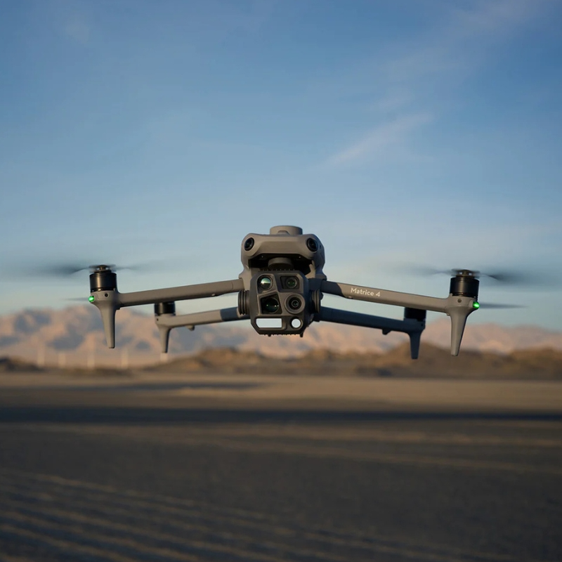
DJI Matrice 4T

Compact, versatile drone ideal for rapid deployment and detailed inspections in confined or complex environments.

Key Features:

  • 4/3 CMOS sensor with mechanical shutter
  • 56x hybrid zoom capability
  • RTK positioning for centimetre-level accuracy
  • 45-minute flight time
  • IP54 weather resistance

Key Use Cases:

  • Building and infrastructure inspections
  • Emergency response and search operations
  • Site surveys and progress monitoring
  • Urban asset inspections

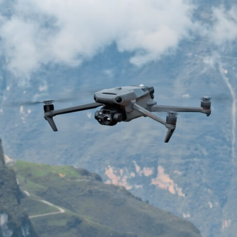
DJI Mavic 3 Enterprise

Compact, versatile drone ideal for rapid deployment and detailed inspections in confined or complex environments.

Key Features:

  • 4/3 CMOS sensor with mechanical shutter
  • 56x hybrid zoom capability
  • RTK positioning for centimetre-level accuracy
  • 45-minute flight time
  • IP54 weather resistance

Key Use Cases:

  • Building and infrastructure inspections
  • Emergency response and search operations
  • Site surveys and progress monitoring
  • Urban asset inspections

Our Payloads (Sensors)

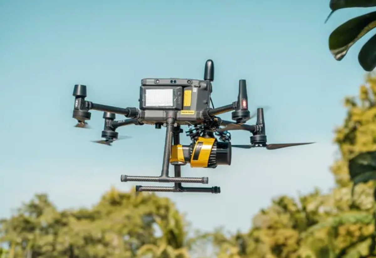
 YellowScan Surveyor Ultra

Compact, versatile drone ideal for rapid deployment and detailed inspections in confined or complex environments.

Key Features:

  • 4/3 CMOS sensor with mechanical shutter
  • 56x hybrid zoom capability
  • RTK positioning for centimetre-level accuracy
  • 45-minute flight time
  • IP54 weather resistance

Key Use Cases:

  • Building and infrastructure inspections
  • Emergency response and search operations
  • Site surveys and progress monitoring
  • Urban asset inspections

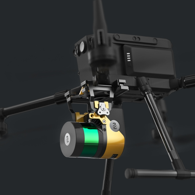
YellowScan Surveyor Ultra

Compact, versatile drone ideal for rapid deployment and detailed inspections in confined or complex environments.

Key Features:

  • 4/3 CMOS sensor with mechanical shutter
  • 56x hybrid zoom capability
  • RTK positioning for centimetre-level accuracy
  • 45-minute flight time
  • IP54 weather resistance

Key Use Cases:

  • Building and infrastructure inspections
  • Emergency response and search operations
  • Site surveys and progress monitoring
  • Urban asset inspections

YellowScan Navigator (DRAFT)

Compact, versatile drone ideal for rapid deployment and detailed inspections in confined or complex environments.

Key Features:

  • 4/3 CMOS sensor with mechanical shutter
  • 56x hybrid zoom capability
  • RTK positioning for centimetre-level accuracy
  • 45-minute flight time
  • IP54 weather resistance

Key Use Cases:

  • Building and infrastructure inspections
  • Emergency response and search operations
  • Site surveys and progress monitoring
  • Urban asset inspections

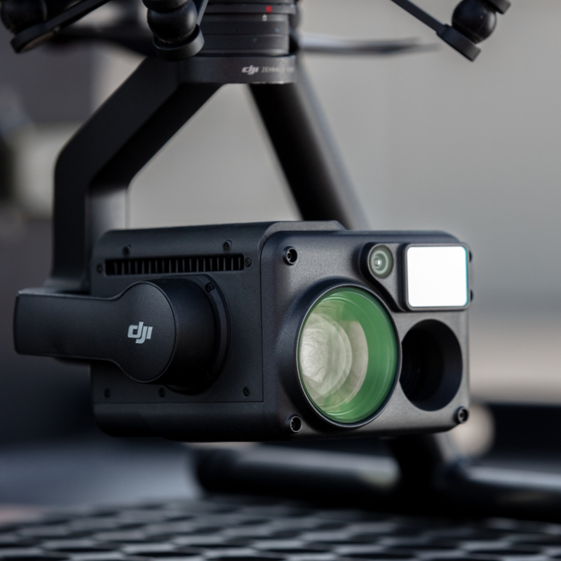
DJI H20T

Compact, versatile drone ideal for rapid deployment and detailed inspections in confined or complex environments.

Key Features:

  • 4/3 CMOS sensor with mechanical shutter
  • 56x hybrid zoom capability
  • RTK positioning for centimetre-level accuracy
  • 45-minute flight time
  • IP54 weather resistance

Key Use Cases:

  • Building and infrastructure inspections
  • Emergency response and search operations
  • Site surveys and progress monitoring
  • Urban asset inspections

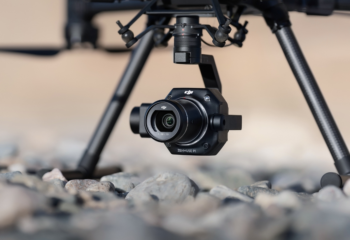
DJI Zenmuse P1

Compact, versatile drone ideal for rapid deployment and detailed inspections in confined or complex environments.

Key Features:

  • 4/3 CMOS sensor with mechanical shutter
  • 56x hybrid zoom capability
  • RTK positioning for centimetre-level accuracy
  • 45-minute flight time
  • IP54 weather resistance

Key Use Cases:

  • Building and infrastructure inspections
  • Emergency response and search operations
  • Site surveys and progress monitoring
  • Urban asset inspections

VAMP (Vantage UAV Asset Management Portals)

Our comprehensive suite of asset management solutions transforms raw aerial data into actionable insights, tailored to your specific data types and operational needs.

All VAMP solutions integrate seamlessly with your existing systems, ensuring your drone data enhances rather than disrupting your current workflows.

Visual Data Management

Purpose-built for still imagery, our visual data portal enables you to annotate findings, prioritise issues by severity, date stamp findings, view GPS coordinates and track remediation progress. Ideal for inspection workflows requiring detailed visual documentation and collaborative issue management.

Thermal Data Management

Specialised thermal data analysis tools allow you to identify temperature anomalies, generate thermal reports and compare historical thermal patterns. Perfect for proactive maintenance programmes and energy efficiency assessments.

3D Modelling Solutions

Transform photogrammetric and LiDAR data into interactive 3D models for immersive asset visualisation, measurement extraction and progress tracking. Supports stakeholder engagement, advanced planning and detailed spatial analysis.

LiDAR Data Management

Advanced point cloud processing and analysis tools enable terrain modelling, vegetation classification, volumetric calculations and terrain change detection. Delivers survey-grade outputs for engineering and planning applications.

Get in Touch

We're here to answer any questions you may have.

Our Qualifications

Cyber Essentials

Civil Aviation Authority

ISO 27001