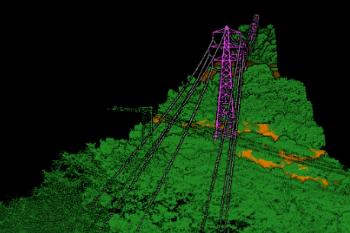
We are proud to announce that we are now the official UK Repair and Maintenance Centre for Autel!
Click to find out more

3D Mapping & Modelling

.

3D Mapping

Traditional methods of mapping limits how to visualize, explore and understand the world around us. With 3D mapping technology, you can easily generate detailed maps of buildings, streets, terrain, and other environmental features, all in three dimensions. 3D mapping is a comprehensive and powerful tool, offering near-limitless possibilities in the fields of navigation, architecture, engineering, surveying, and much more. With 3D mapping technology, you can quickly and accurately capture the world around you in incredible detail, allowing you to create more accurate models for planning, analysis, and design.

Whether you're a professional in a field that requires accurate 3D models, or an adventurous explorer out to discover the world in new and exciting ways, 3D mapping technology can help. At Vantage UAV, we offer a comprehensive range of 3D mapping solutions, allowing you to access the power of 3D mapping technology at a fraction of the cost. With our 3D mapping technology, you can experience the world in a whole new way, unlocking a universe of possibilities.

Thermal data capture of a building

Get In Touch.

Do you need help in unlocking the cost-saving power of drones for your business?

Or call:
0203 871 8226

drone in flight

3D Modelling

Drones have revolutionized the way 3D modelling is carried out, making it easier and faster to survey and map large areas. With the use of drones, 3D modelling can now be done from an aerial perspective, providing more accurate and detailed results. The drones equipped with cameras and sensors can capture images and data from different angles and heights, which can then be used to create a 3D model.

This technology has a wide range of applications, including topographical surveys, architectural renderings, construction site inspections, and mining operations. Drones can survey difficult to access locations, such as mountains and cliffs, providing access to areas that were previously difficult to map. The benefits of using drones for 3D modelling are numerous. It saves time and reduces the cost of traditional surveying methods, while providing more accurate and up-to-date data. Additionally, the use of drones minimizes the risk to surveyors, as they can survey dangerous or hard-to-reach areas from a safe distance.

drone being assembled
Featured Case Study

South Lakes - Housing Estate Inspection

With South Lakes previously using traditional roof inspection methods to assess the estate, concerns remained unaddressed with issues prevailing due to a lack of insight and data being obtained on each property’s upper surface condition.

Vantage UAV was employed to carry out a full-coverage roof and upper surface inspection across the entire estate, totalling 14 blocks.

team at expo